The United States is a huge place. It is made up of 50 states and a total of 3.75 million square miles. It’s considered the world’s third largest country. It offers a wide range of geographical regions and all sorts of places to live.
But let’s delve more into those states. You might be curious about the 10 largest states in the U.S. Unfortunately, you first have to decide whether you want to learn about their sizes based on area, or population.
Top 10 Largest States in the U.S. by Area
You might think that the largest states by area also have the largest population, but that’s rarely the case. Development, uninhabitable areas, and weather influence the population a lot, making some of the largest states have the lowest populations.
1. Alaska

Image source: Pinterest
Alaska is a grand total of 665,384 square miles in size. This makes it the largest state by far. Even the next largest state on the list is almost a third of the size. Despite that, interestingly, it only places 48th on the list for total population.
This is likely due to several factors, like harsh weather conditions, the high cost of living, the lack of jobs, and the lack of suitable housing that provides water and electricity. Additionally, there is a lot of remote wilderness and difficult terrain that makes much of the state uninhabitable.
2. Texas

Image source: Pinterest
Texas is the second largest state in the entire United States. It’s a total of 268,596 square miles. To put the state more in perspective, its average length across the state is 790 miles and the width is about 773 miles on average.
This makes it twice the size of Japan and Germany. Technically, Texas can be counted as the largest state if you only consider continental states, as Alaska is separated from the rest of the U.S. by Canada.
3. California
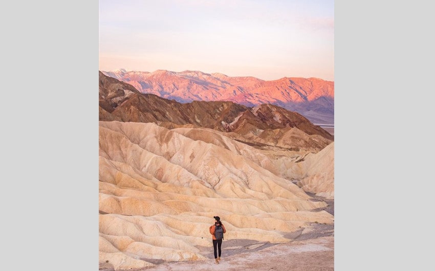
Image source: Pinterest
California takes up most of the west coast of the United States, so it makes sense that it would be in the top 10 states of the U.S. by area. The state is 163,696 square miles. While the state isn’t terribly wide, maxing out at 560 miles, it stretches about 1040 miles long at the longest point.
Because of its length, the state can be broken up into different geological features like deserts, mountains, snow, and beaches. It also has the highest and lowest points in the contiguous U.S. at 282 feet below sea level in Death Valley and 14,494 feet on Mt. Whitney.
4. Montana
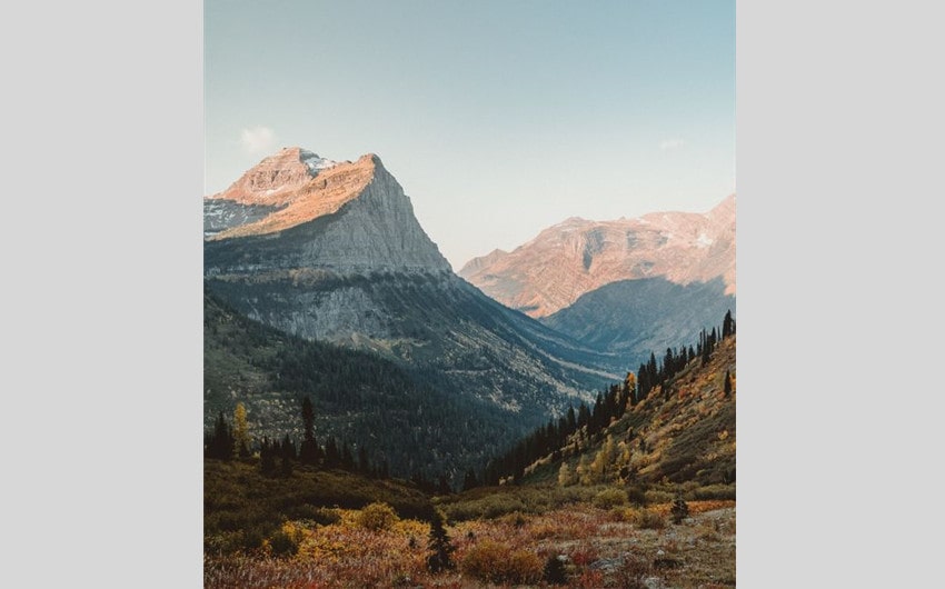
Image source: Pinterest
Montana is the next largest state. It’s about 147,404 square miles, which doesn’t put it all too far behind California. Despite being part of the contiguous United States, it is pretty far away from markets and produce, and was a mostly mining and farming state until recently.
Interestingly, though Montana is part of the Rocky Mountains, it has the lowest average elevation among all other mountain states. The average elevation is 3,400 feet.
5. New Mexico

Image source: Pinterest
New Mexico is fifth on the list of largest states by area. It is around 121,590 square miles. Despite its size, most of its population resides in major urban areas such as Albuquerque, where two-fifths of the population resides.
To put the state of New Mexico’s size into perspective, it’s about a sixth of the size of the state of Mexico and accounts for only 3.2% of the total United States mass.
6. Arizona
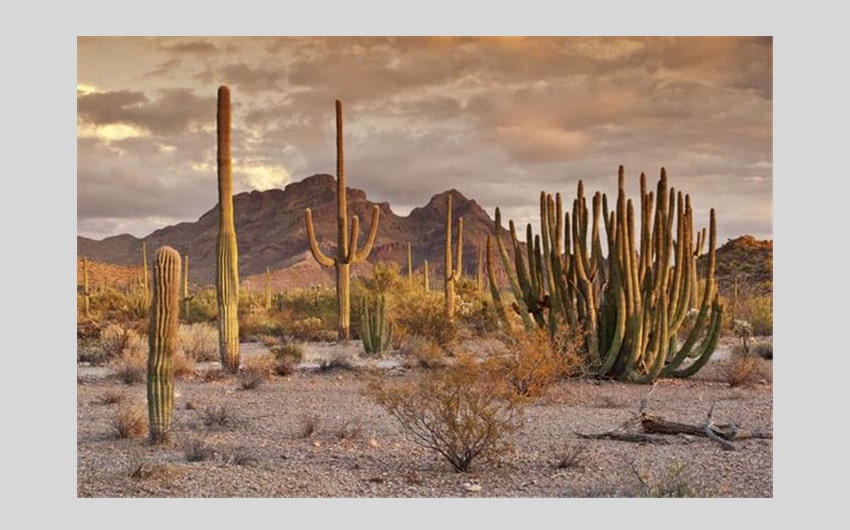
Image source: Pinterest
In case you haven’t realized it yet, many of the largest states are located on the more western side. A lot of this has to do with the way the U.S. government chose to break up the states. Generally, they chose natural landmarks as a guideline, such as rivers, forests, mountains, and so on.
With western states having far fewer rivers, the states were bigger than the ones on the east coast where rivers are more populous. Arizona is one such western state, near New Mexico, and measures 113,990 square miles.
7. Nevada
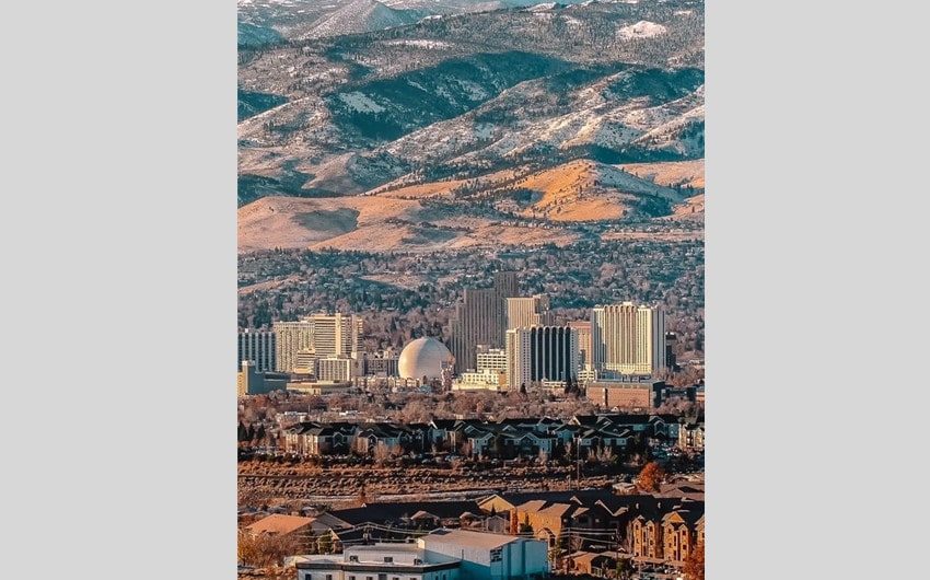
Image source: Pinterest
Yet another western state that makes it to the top 10 is Nevada. Nevada measures just a little smaller than Arizona at 110,572 square miles. Despite the size, it’s only the 32nd most populated state.
This is because most of the population actually lives in only one or two areas. The state is known for being hot and dry, so people have to stay where water is easily accessible or ported. Las Vegas holds right around half of all of Nevada’s people. The next largest city, with most of the rest of the population, is Reno.
8. Colorado
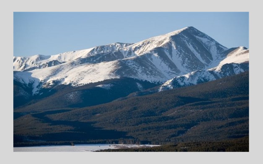
Image source: Pinterest
Colorado is eighth on the list of largest states. It measures 104,094 square miles. It is located near New Mexico, Arizona, and Utah. In fact, these four states meet up perfectly on one corner.
This is the only place where four states line up so well, and the one place you can stand in four different states at once. It’s also right below Wyoming, which is also one of the largest states by area.
Colorado is also home to the largest peak of the Rocky Mountains, which is Mount Elbert at 14,440 feet. There are a lot of mountains in the state above 14,000 feet, labeled as “14ers”.
9. Oregon
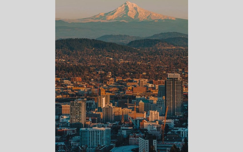
Image source: Pinterest
The state of Oregon measures 98,379 square miles, making it the 9th largest state in the United States by area. It’s located right above California on the west coast. Despite not having a large population currently (around 4 million), Oregon has a rich history.
It’s estimated that people have inhabited the area that is now Oregon for over 15,000 years. However, there is no mention of the area until the 16th century when the coast was first noticed by English explorers.
10. Wyoming
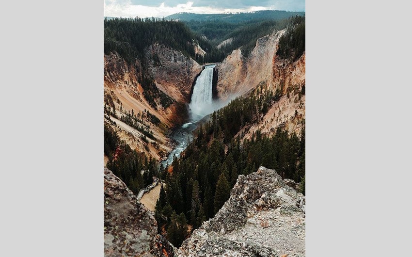
Image source: Pinterest
Wyoming is 97,813 square miles, putting it solidly in 10th place as the largest state by size. It’s another one of those states that, despite having a large size, doesn’t have a large population. Like Nevada, most of the population is concentrated in major cities.
Interestingly, Wyoming places at the very bottom of the list of states by population, having over 50,000 fewer people than the 49th most populous state. It does have a large influx of tourists every year, however, thanks to the Grand Teton and Yellowstone national parks.
Top 10 Largest States in the U.S. by Population
Curious about which states rank highest when it comes to the population? This list provides you with the top ten most populated states. These numbers are all accurate as of the 2023 census but may change from year to year.
1. California

Image source: Pinterest
California may be the third largest state by size, but it dominates the charts when it comes to population. There are an estimated 39 million people in the state. Not only does the state have a variety of climates to attract all sorts of different people, but the state is home to Hollywood.
Hollywood, located in Los Angeles, is where people who want to be famous go to get noticed. People from all over the world flock to the area in the hope of getting noticed and striking it big.
2. Texas

Image source: Pinterest
Texas is the second largest state in both area and population. It’s one of the few states whose area actually reflects the population well. The state has 30 million people. However, that number might increase soon, as it is also the fifth-fastest growing state in the country.
Texas has a lot of habitable land. Unlike some of the states above, almost all of the land in the state is perfect for people to live in, which allows it to hold a rather large population.
3. Florida

Image source: Pinterest
Florida is the third largest state in terms of population at 22.25 million, despite only taking the 22nd place in terms of area. It’s a popular state for tourists due to the warm beaches and big attractions like Disney and Universal Studios.
These same factors make it a great place for people to settle down. The warm temperatures and beautiful scenery mean there’s a lot to like, especially for the older populations looking for the perfect place to retire.
4. New York

Image source: Pinterest
New York placing somewhere in the top 10 by population probably doesn’t surprise many. Most people, whether from the U.S. or another country, have heard of New York City.
It’s actually the most populated city in the entire country with almost 9 million of the total 19.6 million people in the state residing in that one area. The rest of the country is full of beautiful mountains and coastlines.
5. Pennsylvania

Image source: Pinterest
Pennsylvania is number five on this list, with a population of just under 13 million people. Many eastern states in the U.S. have pretty high populations despite the smaller sizes of the states.
This is because these areas usually have more elaborate cities designed for large populations by either expanding upwards or outwards, if not both. About 27 percent of the total population lives in rural areas, and the rest live in cities in Pennsylvania.
6. Illinois

Image source: Pinterest
With 12.5 million people, Illinois ranks sixth on the list of most populated states. Based on the numbers, there’s a population density of roughly 230 people per square mile.
Though this may sound like a lot, it’s only 18th on the size of states by population density. New York only has 429 people per square mile, putting it in 12th place. The highest is D.C. with 11,295 people per square mile!
7. Ohio
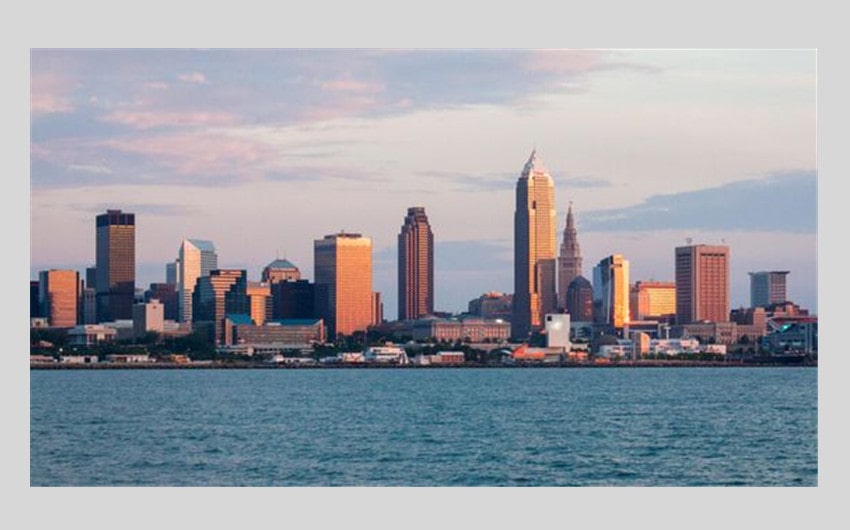
Image source: Pinterest
Ohio has 11.8 million people in the state. Though people aren’t leaving the state in large drives, thanks to Covid, they are moving out of major cities like Cleveland and into more rural areas nearby. Some people even just move into another, smaller city.
There haven’t been surveys on why this is, but remote work is likely a big reason, as well as population density, crime, and costs of living.
8. Georgia
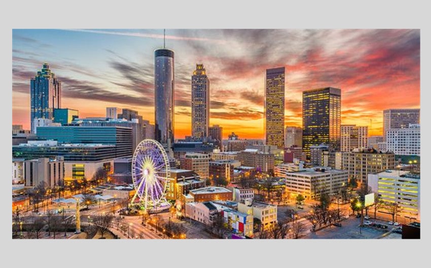
Image source: Pinterest
Georgia has 10.9 million people. Unlike Cleveland, Ohio, it looks like people are moving more and more into Atlanta, Georgia, even while people are moving out of cities like Hinesville, Macon, and Albany.
An interesting fact about Georgia is that although it’s eighth in terms of population and 24th in size, it has the second-highest number of counties in the country. It’s only second to Texas.
9. North Carolina

Image source: Pinterest
North Carolina has a population of 10.7 million people. Most of the population is in the central or southernmost parts of the state with the western and north-eastern counties having the lowest total population.
The state is still growing, with a rising population since 2010. It seems to be a prime area for those in Generation Z, thanks to its rich job market, colleges, and entertainment.
10. Michigan

Image source: Pinterest
Michigan takes the final spot on the list of top 10 states by population with 10 million people. Though it was steadily growing, with a large jump in population in 2020, the numbers have decreased a little since remote work became more of a thing.
There are some major cities in Michigan, including Detroit. There’s also the Great Lakes, and it’s close to Canada for those that want to travel and leave the country occasionally.